District Buner is a picturesque mountain valley nestled between Swabi to the south and Swat to the north. It is known for its lush, hilly landscape and is separated from neighboring valleys by ranges like the Mora and Ilam hills. Originally a tehsil within Swat District, Buner was upgraded to a full district in 1991.
The area holds great historical significance. The armies of Alexander the Great are believed to have passed through the region, and it was the site of a famous military disaster for the Mughal Empire in 1586, when a local Yusufzai rebellion led to the death of thousands of Mughal soldiers. The district is also home to the revered Shrine of Pir Baba, a prominent Sufi saint, which draws pilgrims from across the subcontinent. Today, the economy is primarily based on agriculture, livestock, and its extensive marble reserves, which are a major source of income for the region.
See more about District Buner on Wikipedia
According to the 2023 census, Buner District has a literacy rate of 43.75%. This is a developing figure with a notable gender gap, with the male literacy rate at 60.61% and the female literacy rate at 27.40%. Efforts are underway to improve access to education and increase the literacy ratio across the district.
Population (2023 Census)
Area code: 0939Tehsils
Area: 1,865 km²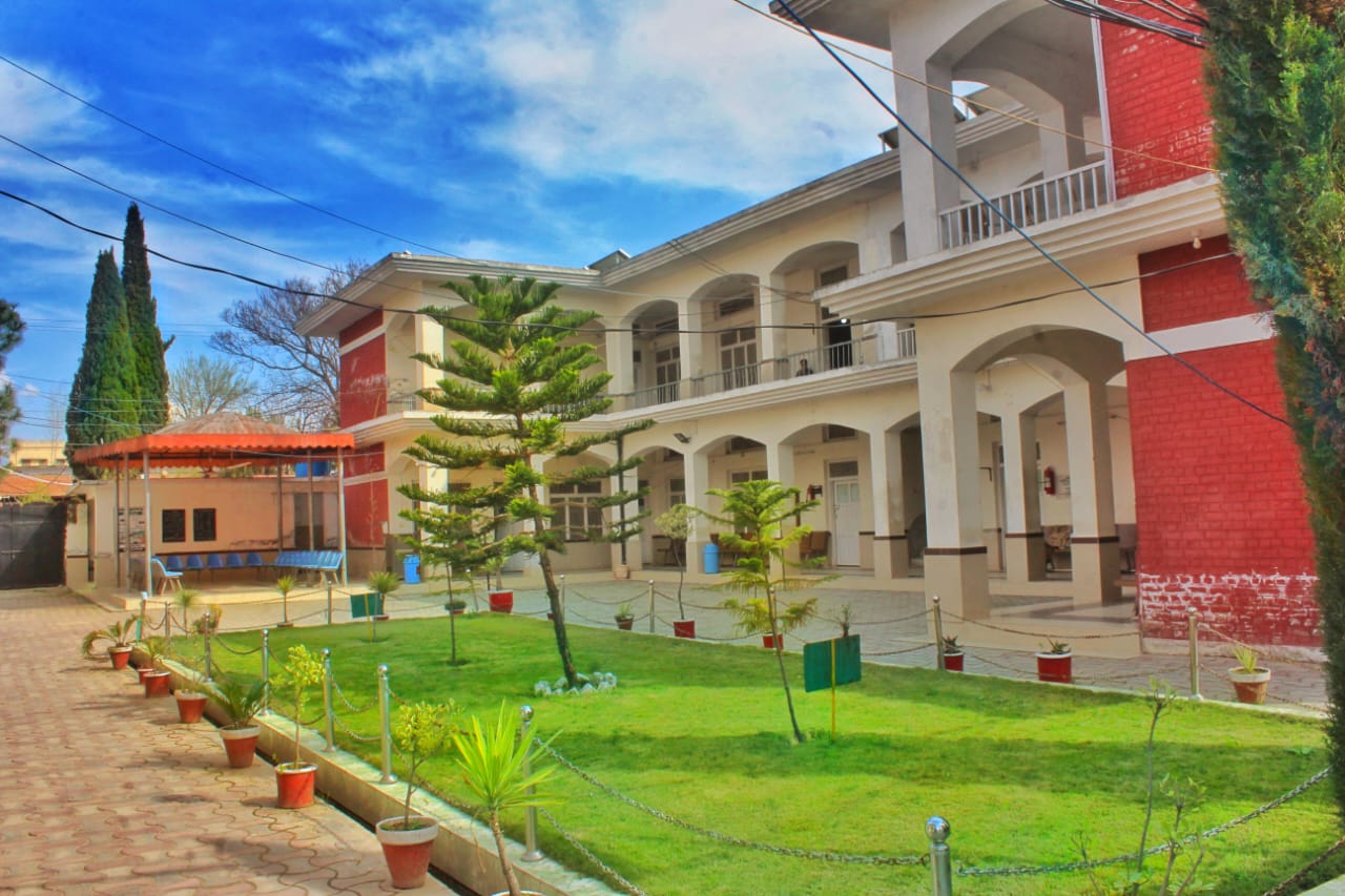
District Buner is a hidden gem with immense tourism potential, offering a blend of natural beauty and historical sites. Some of the most popular places to visit include:
The district’s lush landscapes and serene environment make it an ideal spot for those looking to explore the untouched natural beauty of Khyber Pakhtunkhwa.
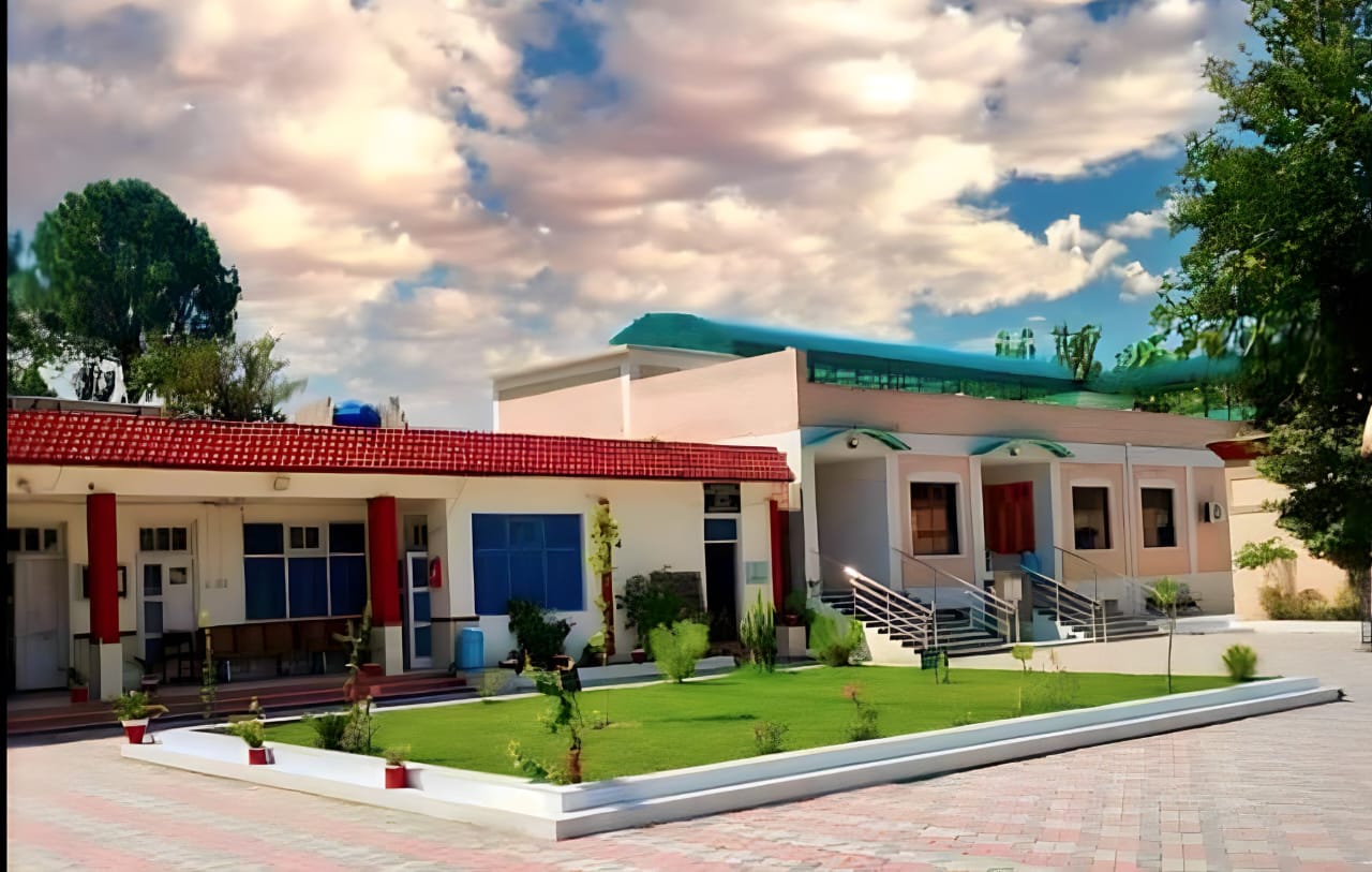
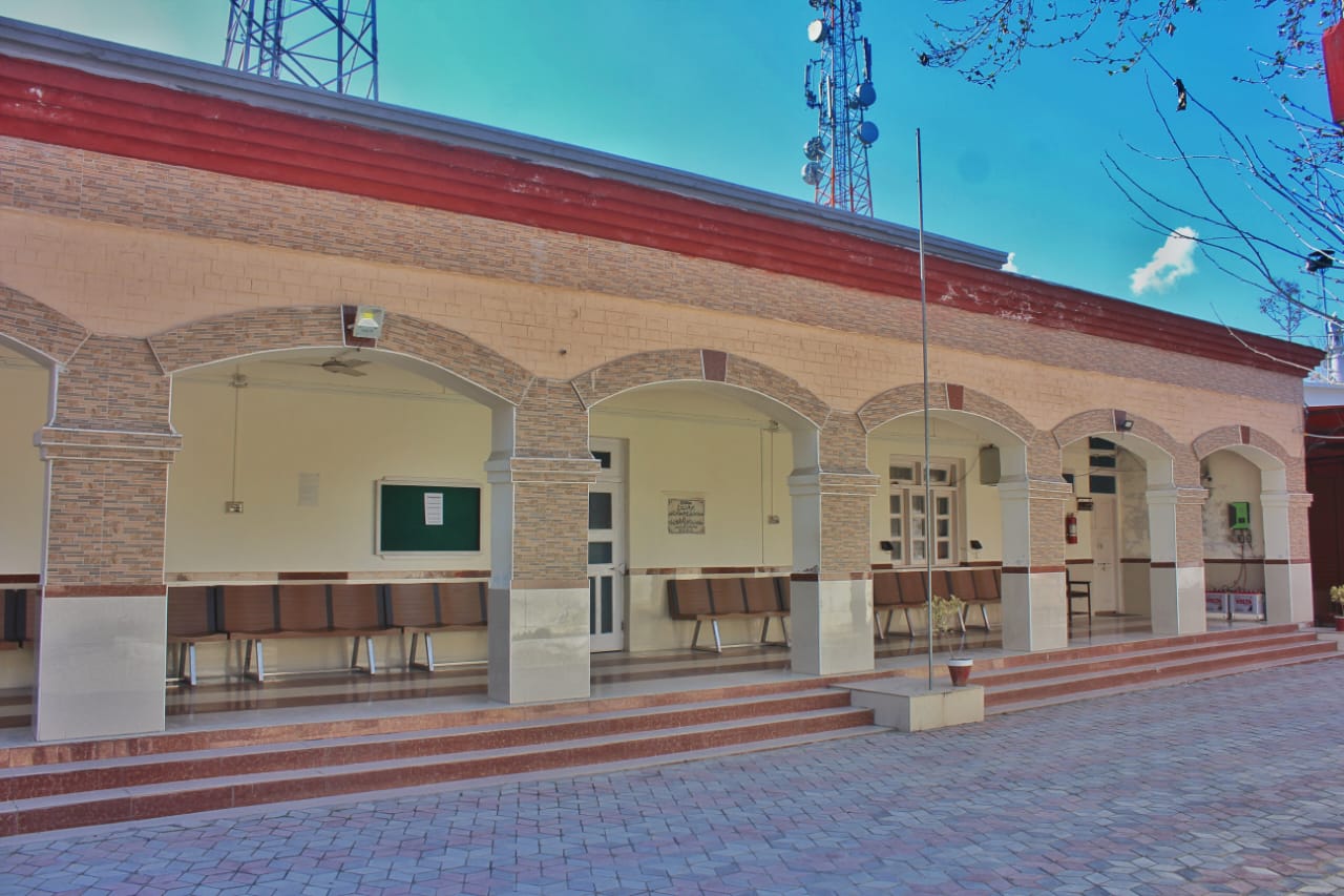
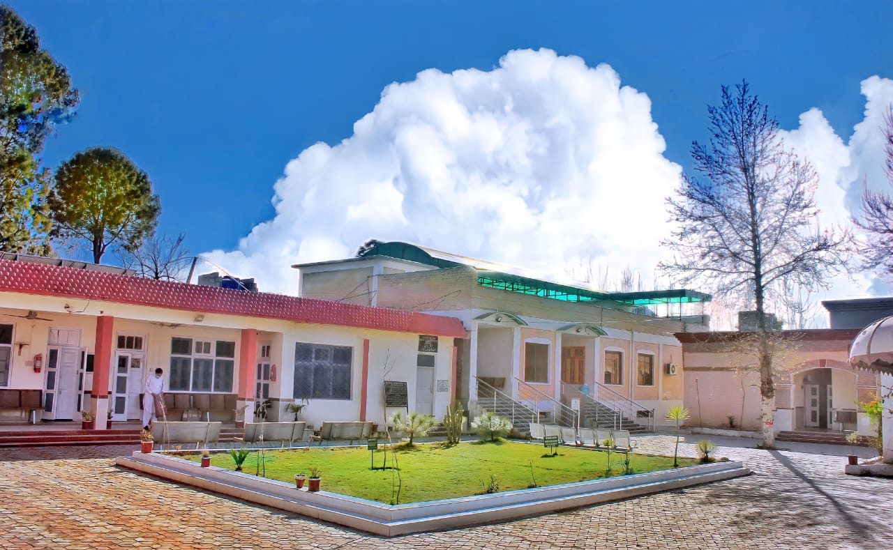
© District Judiciary, Buner. All Rights Reserved 2025.
Developed by Hussain Ali, Computer Operator & Maintained by KIOSK/Information Cell